Portola Valley Letterpress Map
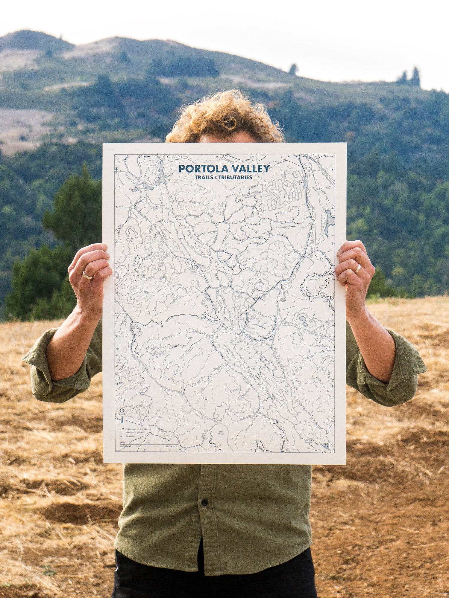
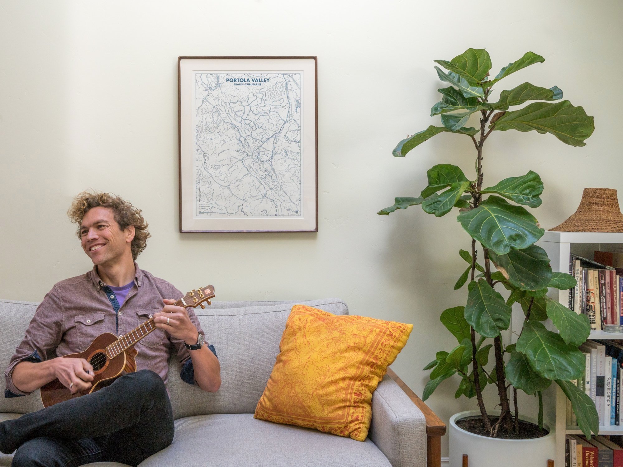
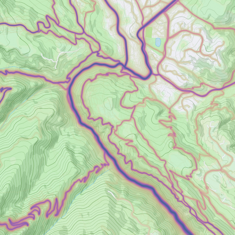
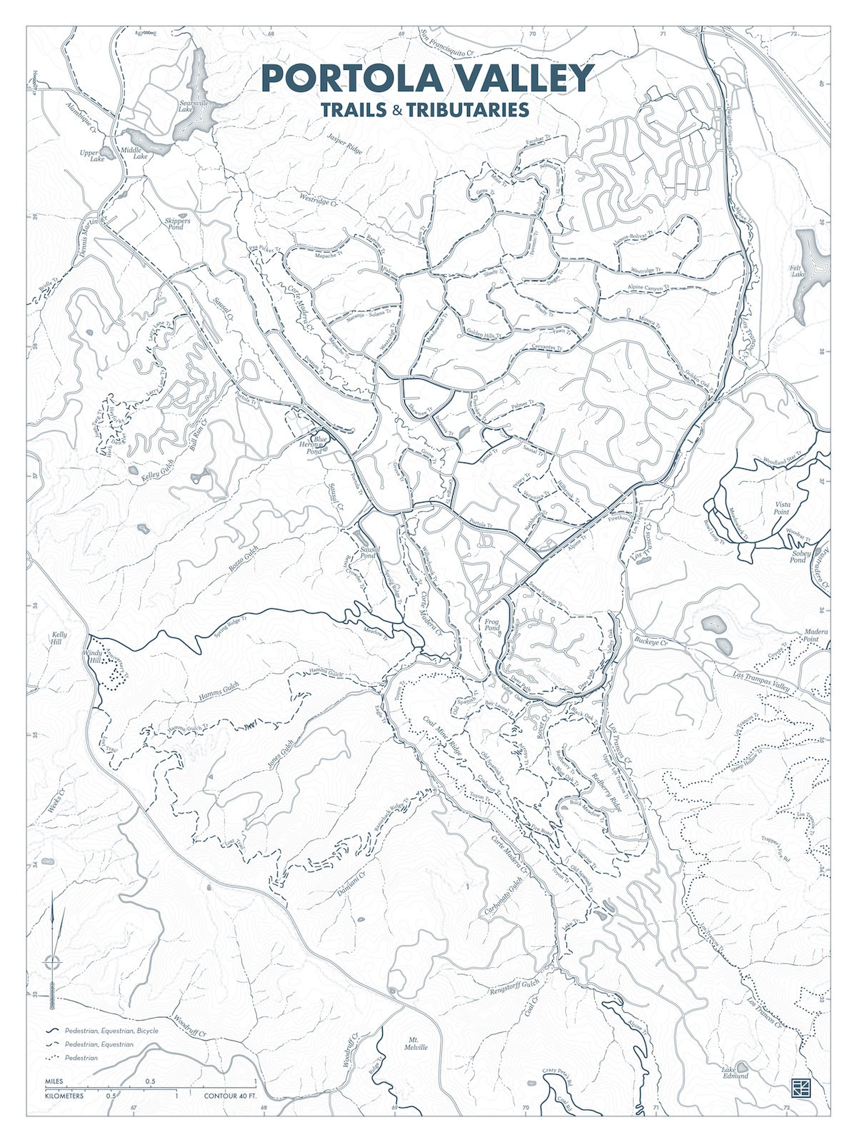
The Trails & Tributaries map is a love letter to the outdoor spaces of Portola Valley. Offered as a letterpress print suitable for framing, its rich texture & intimate detail express a profound affection for our trails, waters, and lands.
This artwork began when I volunteered to redesign the PV trail map for the Trails & Paths Committee. Soon it became an obsessive project to create a map that captures my love of trails and this beautiful place.
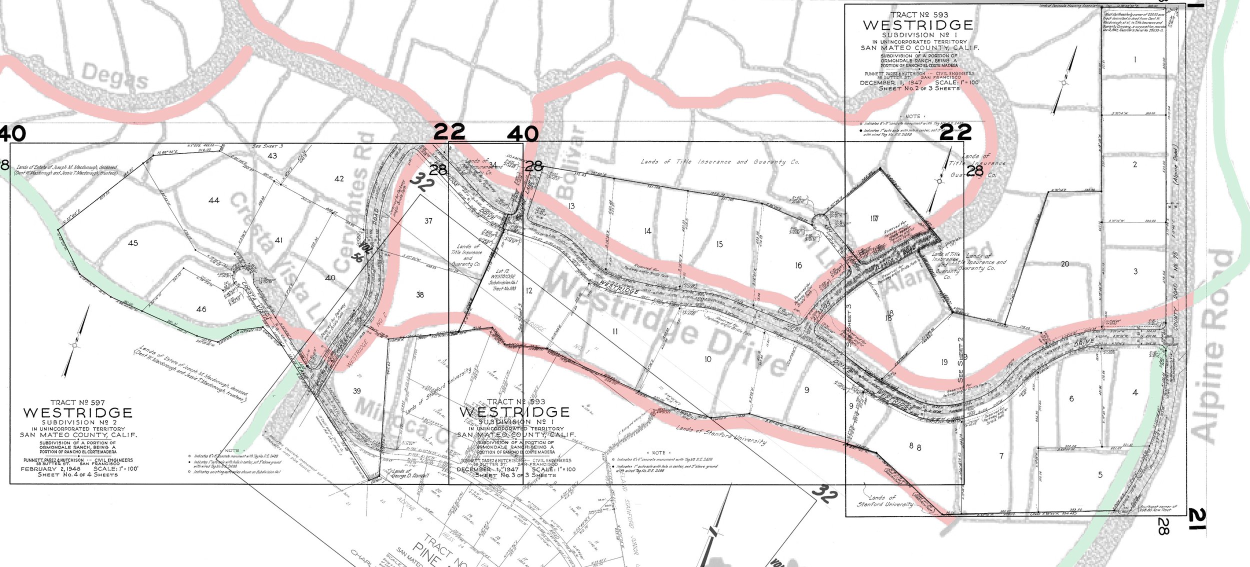
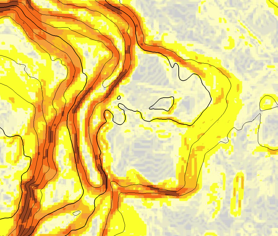
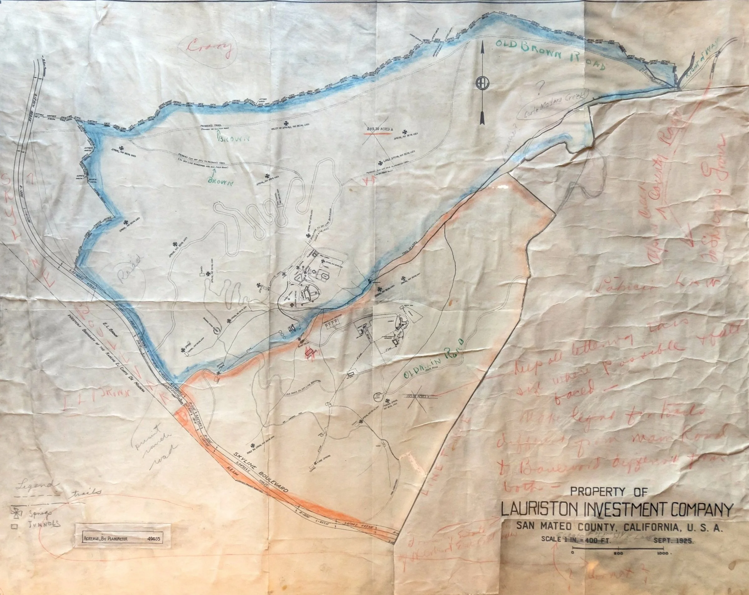
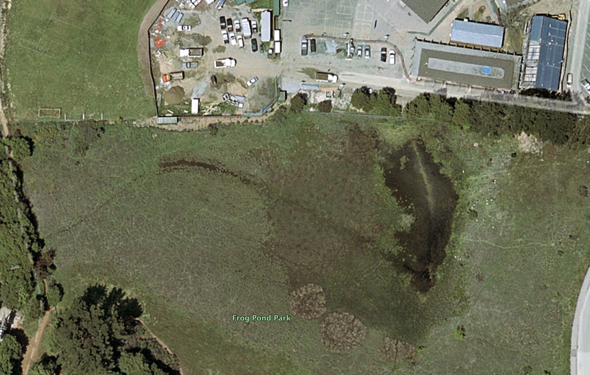
For two years I compiled thousands of disparate sources: 3D topology scans, aerial photos, GPS activity tracks, historical documents, vintage books, county surveys, obscure maps, and more. This research chased social trails & fireroads, meandering streams & seasonal ponds, historical placenames & daily adventures.
Every cartographic detail was meticulously hand drawn to create a unified vision of the land. This design deemphasizes navigation and jurisdictions, showing our area as an interconnected whole. The unprecedented detail invites close inspection of both the art and the places we explore.
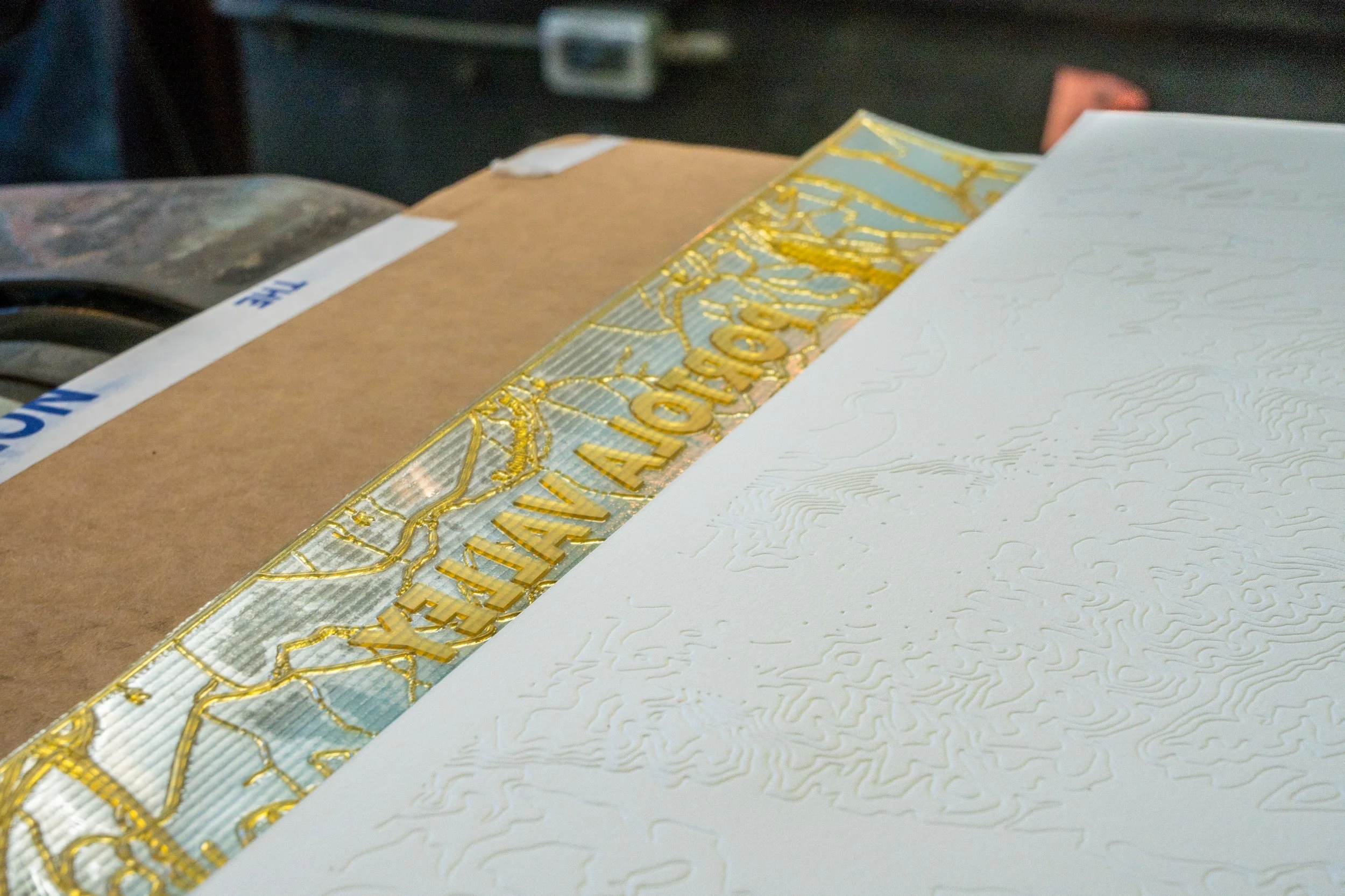
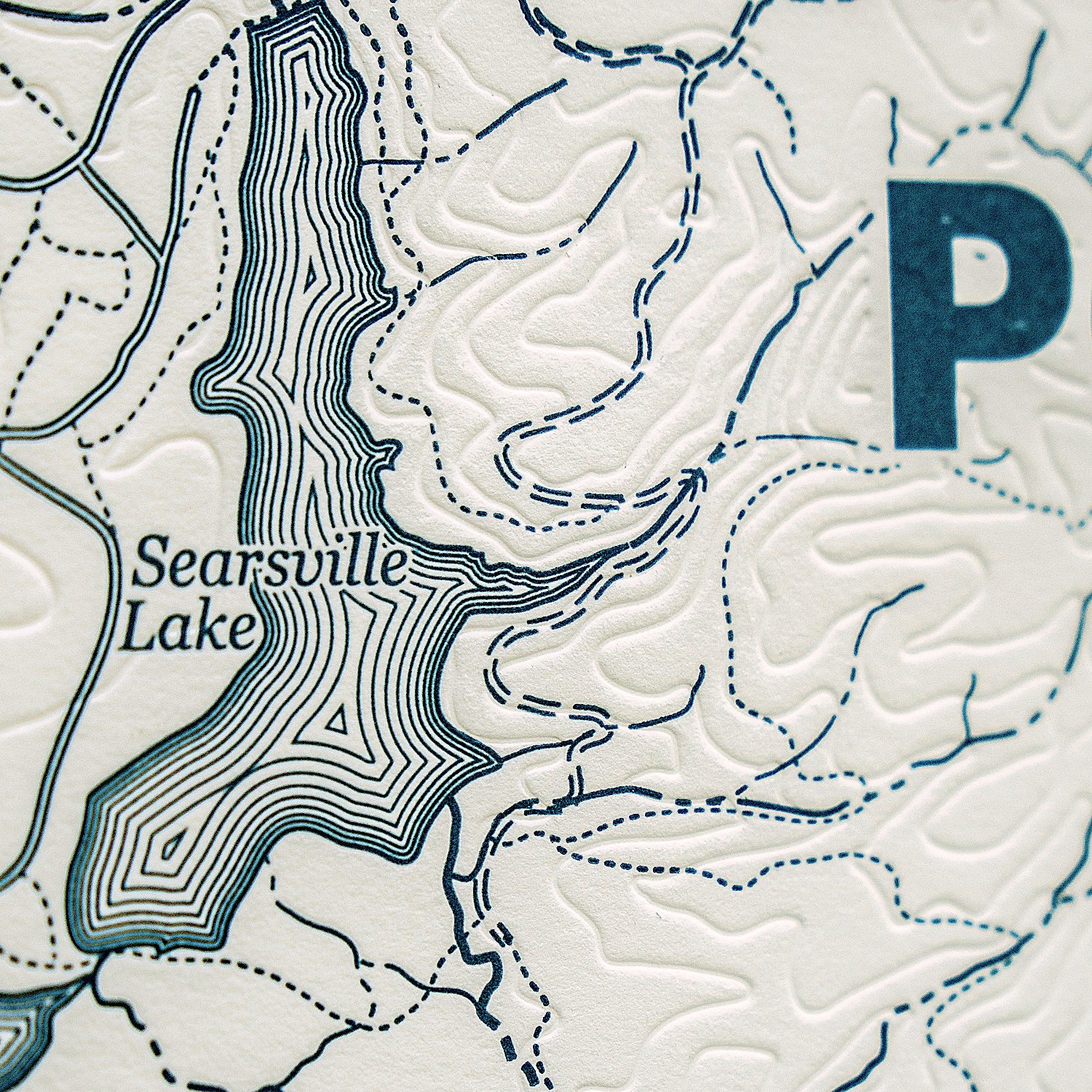
Each piece is locally produced with superlative craftsmanship. Heavy all-cotton paper is printed with deep, light catching impressions. Trails and watercourses are inked in pacific green while contours are debossed in shadows.
Showcase your love for Portola Valley’s wild, intricate beauty.
Second printing of 100 pieces available August 2025.
18”x 24” print: $185
behind the map
TRAILS
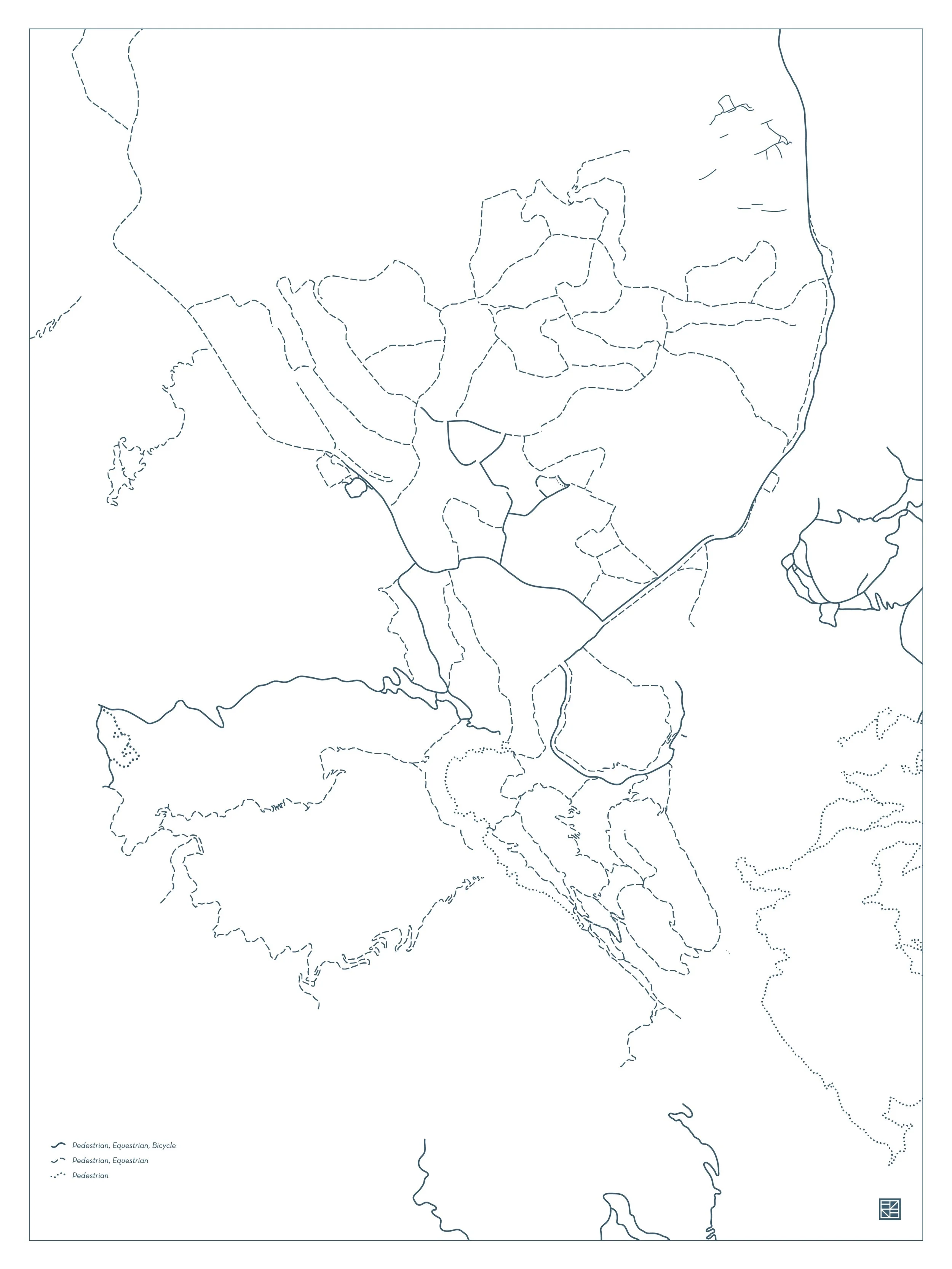
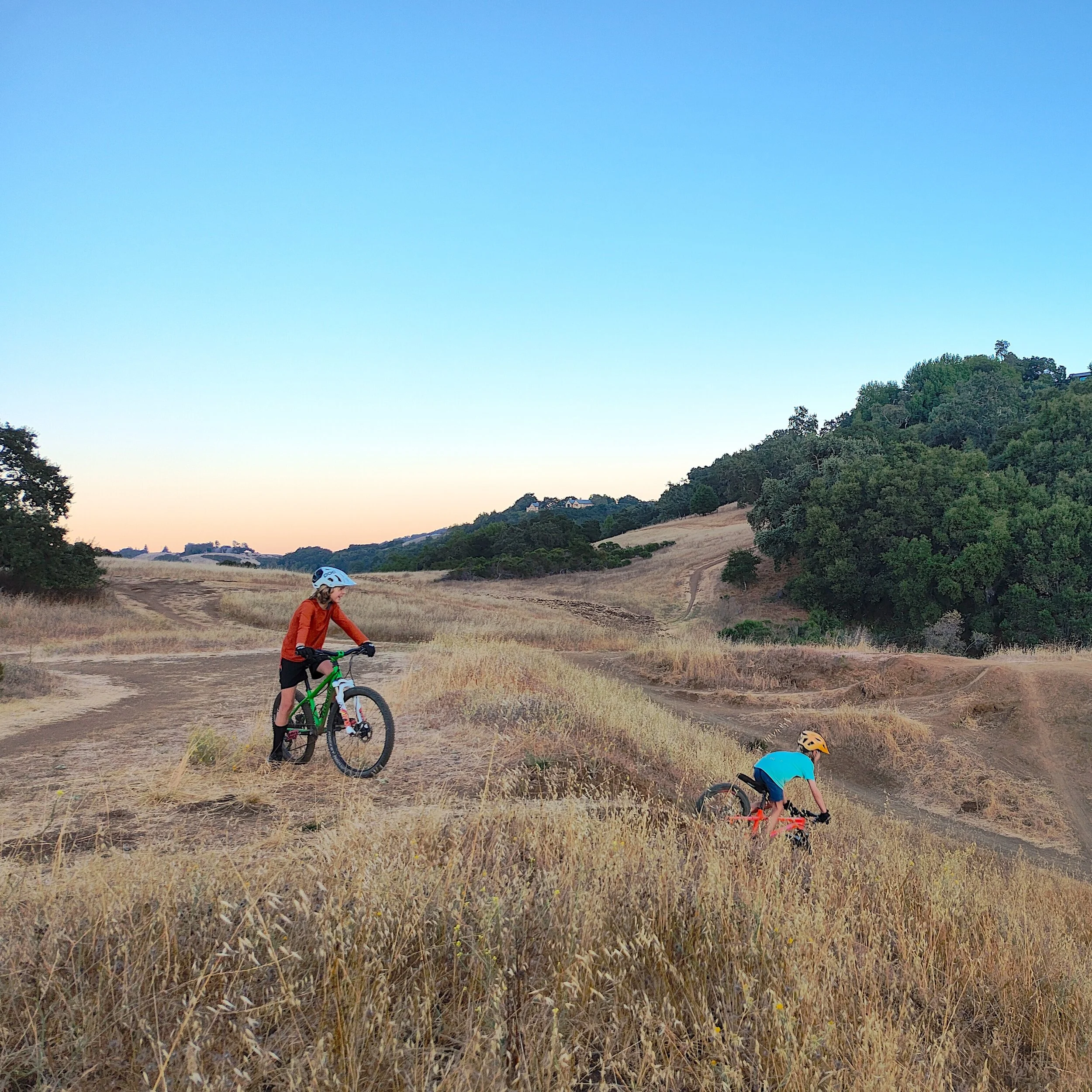
Portola Valley boasts nearly 60 miles of trails for hikers, bikers, and equestrians. Publicly accessible trails are marked according to user access and individually labeled. This project started as a trail mapping project and adventures outdoors remain the visual heart of this map.
Trail and path placement is derived from 3D data, aerial photos, and GPS tracks, overlaid and traced, then gently nudged to balance geographic accuracy with legibility.
WATER
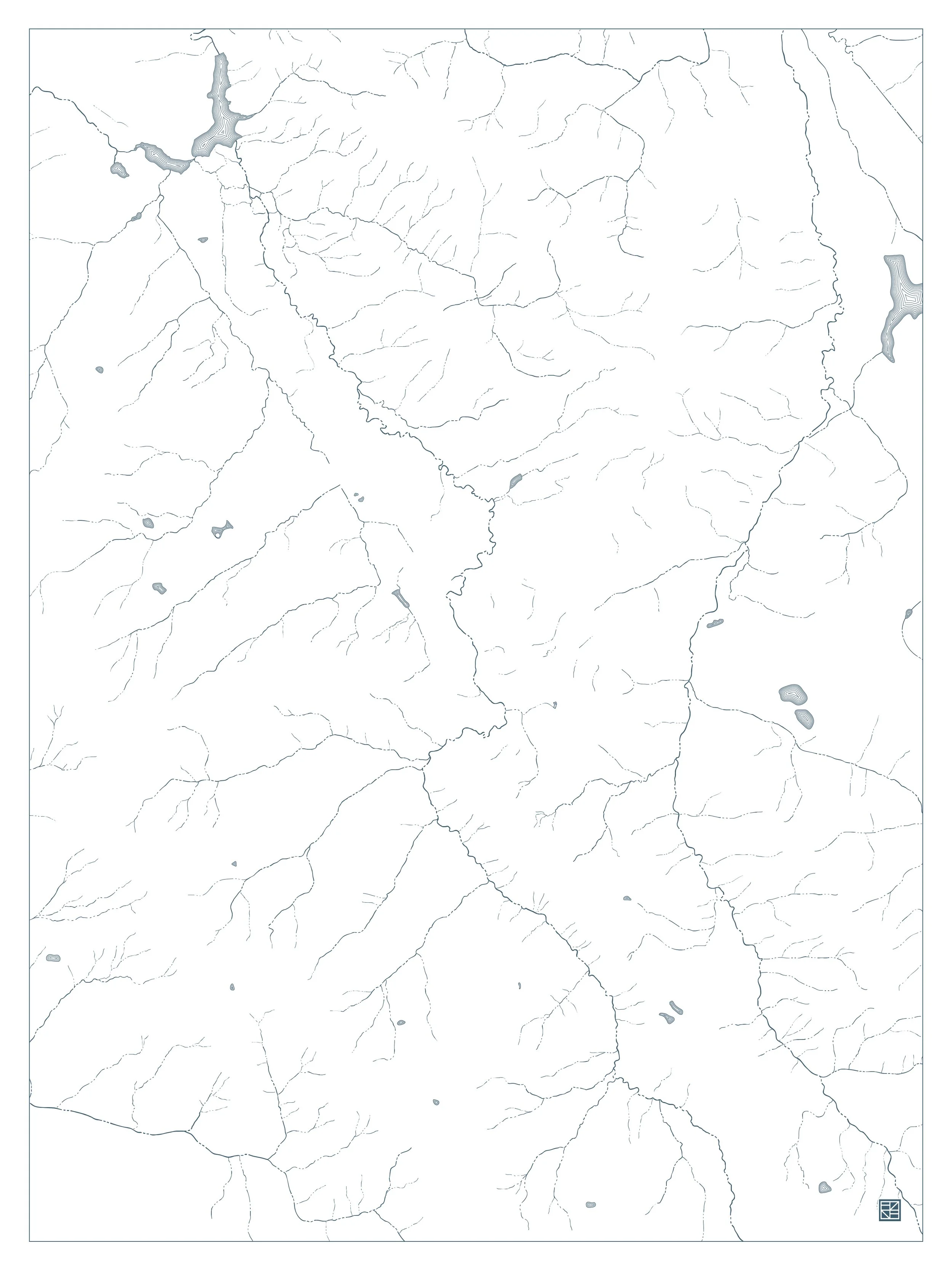
The hillsides of the San Francisquito watershed gather water into seasonal streams that feed into Corte Madera and Los Trancos Creeks before heading towards the Bay. Lakes and ponds are scattered throughout the landscape.
Each gully and meander was hand traced over USGS lidar surveys, slope maps, and aerial photography. This map shows how water flows across the landscape with truly unprecedented fidelity. Lakes and ponds are shaded with classic waterlines.
LAND
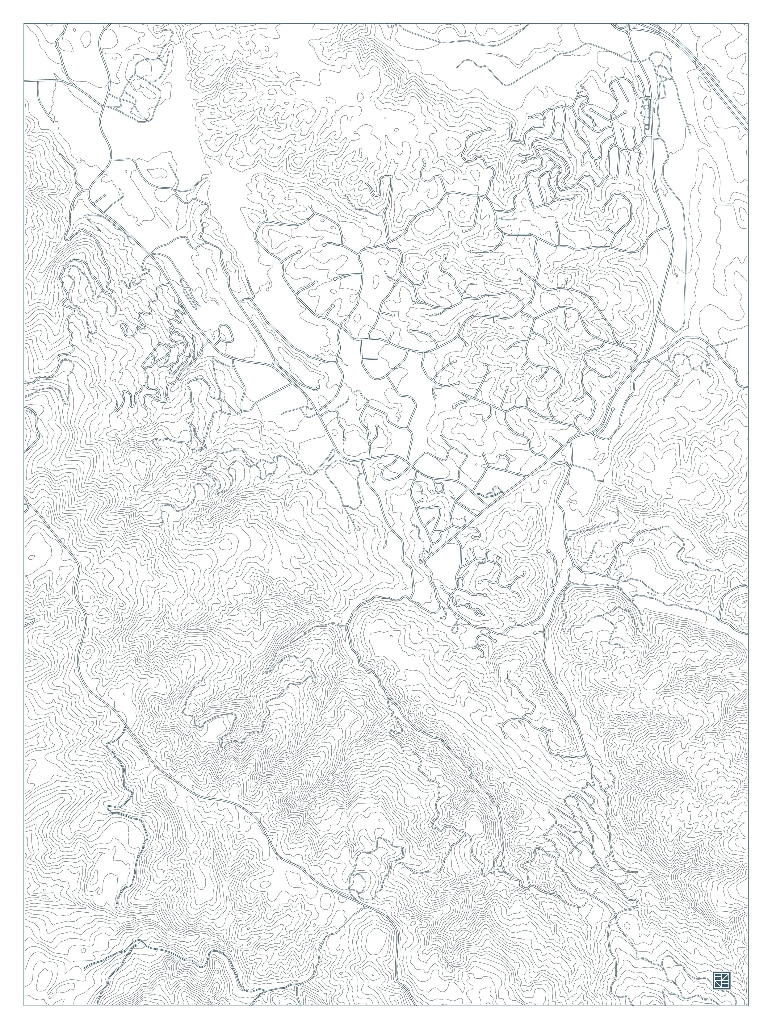
Portola Valley’s rugged landscape is defined by rolling ridgelines and water carved gulches that once harbored gold rush sawmills. Obscure placenames were extracted from historical documents, expanding on familiar nomenclature.
Topographic contours are debossed at 40’ intervals, lending a textural quality to the landforms. Roads are inked but unlabeled, orienting the viewer while leaving emphasis on the place.
DETAIL
This map carefully compiles wide ranging data sources, from vintage maps and archival books to modern lidar surveys and personal interviews. The obsessive attention to detail rewards careful study with the delight of discovery.
CRAFT
Paper stock is Crane’s Lettra #110 in Pearl White. This heavy, 100% cotton, acid-free, archival paper is uncalendared for a soft appearance and crisp impressions.
Trails, water, roads, and type marks are inked in Pantone 548, a deep blue-green evocative of the Pacific. Trail labels are set in a gently serifed typography, while placenames are rendered in a more structured italic.
All posters are individually printed in San Francisco at The Aesthetic Union on a 1931 Vandercook 219 proving machine.
DISCLAIMER
This map is sold for decorative purposes only. Depictions of roads, trails, or other features do not imply access or permission and do not guarantee their safety or suitability for travel. Access to private property, whether marked or unmarked, requires permission from the landowner. The information comes from public sources and may be inaccurate, outdated, or incomplete. The publisher assumes no liability for any inaccuracies, injuries, property damage, trespassing, legal violations, or other consequences from its use. By purchasing or displaying this map you waive any claims against the publisher and accept full responsibility for verifying conditions and following all laws. Enjoy responsibly.

